The nature trail at Uutela consists of two walking tours of differing lengths, forming a figure-of-8 pattern. The mobile map also features an additional route to the tip of Skatanniemi. You can read the texts for each point of interest on the mobile map or the original brochure, which you can print out. The trails can be walked in any order.
Forests and Pastures
The tour is approximately 2.5 km in length. The route is signposted and marked with green and white ribbons. On the mobile map, the route is coloured light blue. The route is easy to navigate.
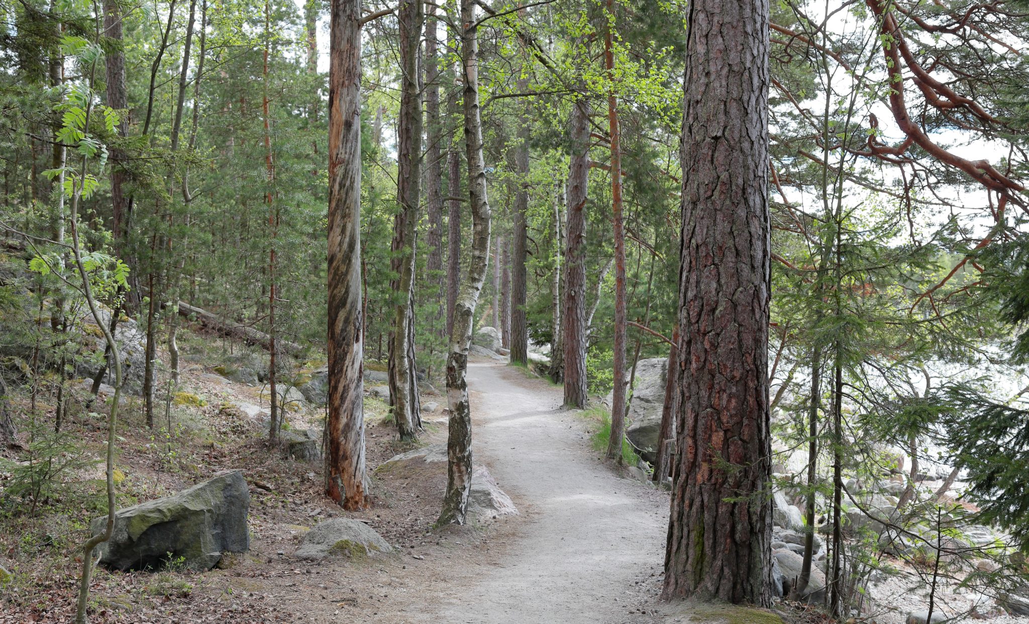
Photo Jan Salonen.
Gloe Lakes and Coastal Meadows
The tour is approximately 1.5 km in length. The route is signposted and marked with green and white ribbons. On the mobile map, the route is coloured green. The route is generally easy to navigate, but includes short duckboard sections.
Parts of the tour are located within the nature reserve. Movement in the nature reserve is restricted in the spring and summer between 1 April and 1 August, during which time visitors must stay on the designated paths and duckboards. Cycling is aloud only on designated paths. Fishing is prohibited in the nature reserve.
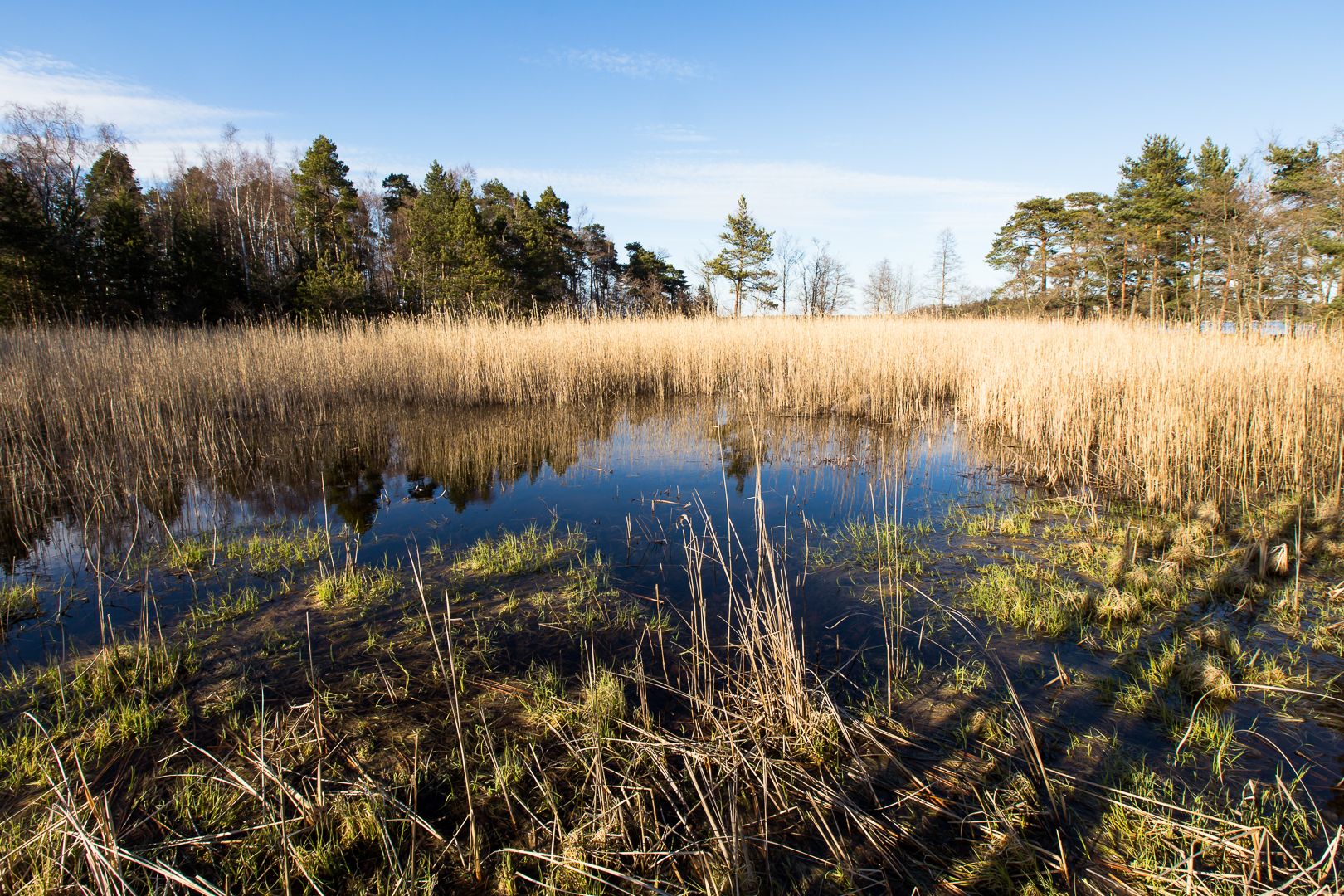
Photo Teemu Saloriutta.
Secret Skatanniemi
The route is approximately 2 km in length. The route and its points of interest are not marked in the terrain. On the mobile map, the route is coloured pink. The final parts of the route include difficult-to-navigate rocks, which are very slippery in rainy weather.
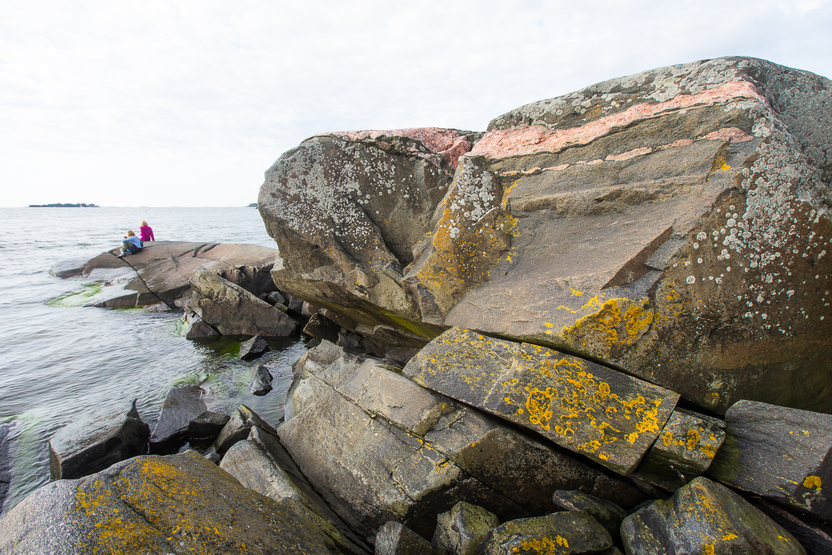
Photo Teemu Saloriutta.