The Pihlajasaari nature trail circles both Läntinen Pihlajasaari and Itäinen Pihlajasaari. The trail’s points of interest are marked with numbered posts in the terrain. You can read the texts for each point of interest on the mobile map or the original brochure, which you can print out. The trail can be walked in any order or only partially.
The trail on Itäinen Pihlajasaari
The western island’s section (1.8 km) is coloured light blue on the mobile map. The trail includes difficult-to-navigate rocky sections that are not marked in the terrain. Please note that the rocks are also very slippery in rainy weather. You can also skip the rocky sections and simply follow the paths.
The eastern island’s section (1 km) is coloured pink on the mobile map.
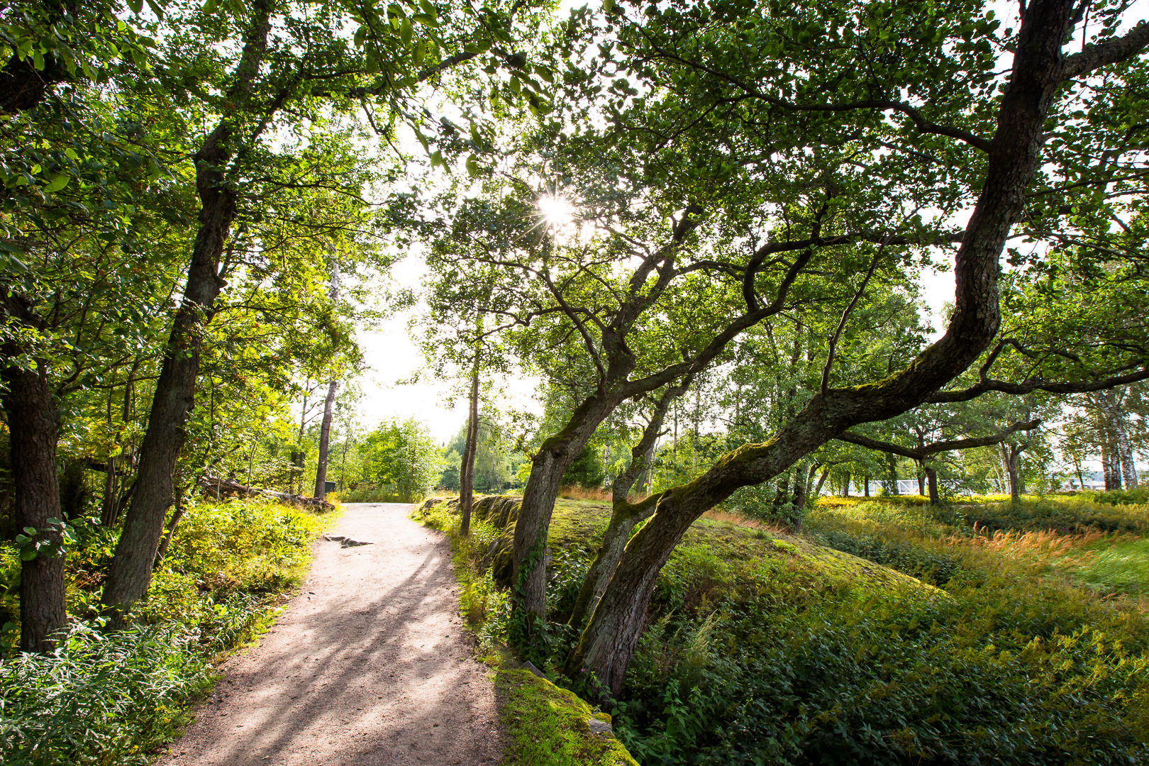
Photo Teemu Saloriutta.